https://geodevice.co/main/magnetometers/gradimag/https://geodevice.co/main/magnetometers/gradimag/
Main features:
- Based on Overhauser effect
- High resolution
- Stable in time readings
- Can be used with GPS
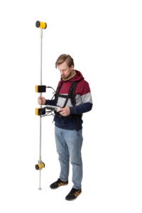
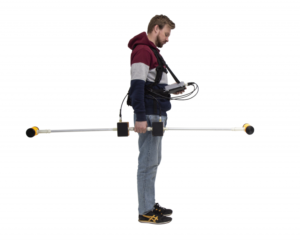
GradiMag — is a modern, high precision two-channel Overhauser total-field magnetometer / gradiometer. Its innovative design allows to deploy the system as a rover magnetometer, walking gradiometer or base station. As being equipped with an external GLONASS/GPS receiver, Gradiometer is perfect for archaeology surveys and geotechnical studies when target objects are located close to the surface with significant total field gradient values. Moreover, for gradient survey data analysis there is no need to remove the effects of daily magnetic drifts (diurnals). Thus, the using of base station data may not be necessary.
Due to the outstanding sensor stability GradiMag provides extremely high resolution. Beeper signalization makes the system very convenient for the purposes of utility detection in real-time. Each particular GradiMag has its own Certificate issued by authorized organization based on the testing in the certified magnetic induction measure.
Distinctive features of the new generation of GradiMag magnetometers:
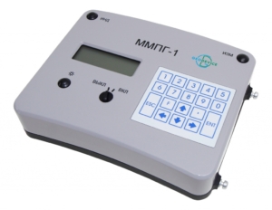
- New rugged and waterproof design of the console and sensor cases
- New ergonomic backpack harness for even more comfortable usage
- New rugged container for shipping / storage
- Cables of new design with reinforced connectors
GradiMag provides:
- Automatic change of line and station numbers as well as their coordinate gridding
- Precise measurements with 2 s rate
- Autonomous base or magnetic observatory station measurement modes
- Test mode with RMS and medium value estimation (without data storage)
- Data export to ASCII text file
GradiMag areas of application:
- Mineral explorations
- Archaeology
- UXO detection
- Environmental and geotechnical studies
- Geological mapping
- Oil and gas
- Magnetic observatory measurements
Package contents:
- Overhauser sensor (2 pc)
- Console
- Set of sensor rodes
- Set of cables
- Remote start module
- RS-232 cable
- RS-232 to USB adapter
- Lead-acid maintenance free gel battery (2 pc)
- Battery charger
- Backpack harness
- Rugged case
- Software for data storage
- Calibration certificate issued by authorized organization
- Operation manual
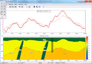
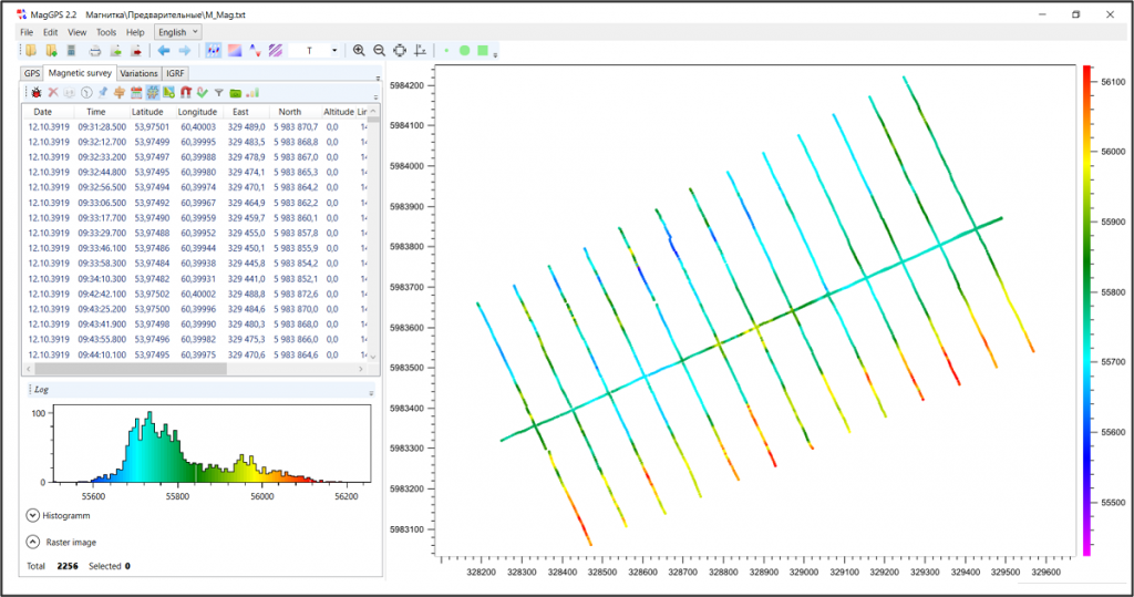
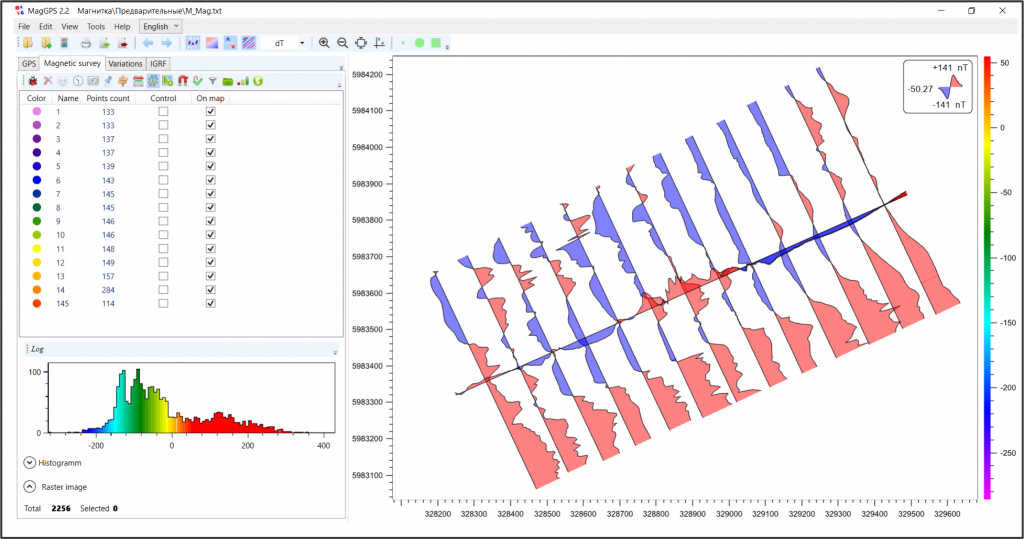
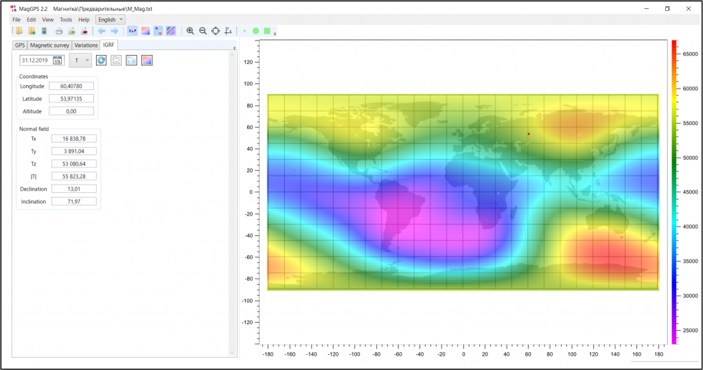
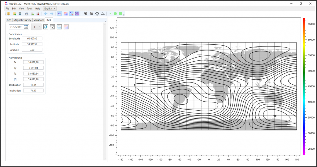
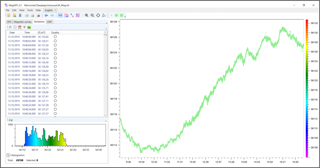
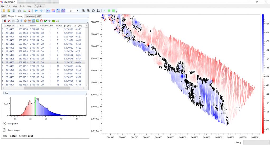
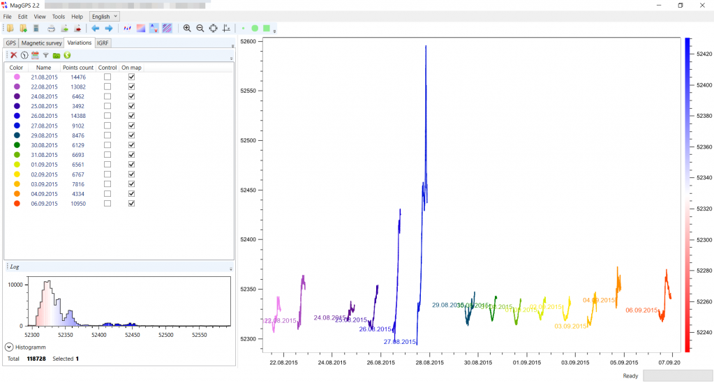
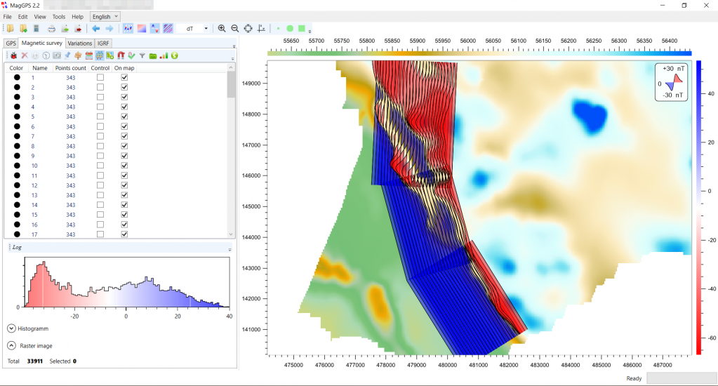
We recommend to consider MagGPS software for fast and convenient data processing, visualization and quality control. It is mainly intended for the preliminary data processing: taking into account magnetic field variations, data filtering and analysis, coordinate gridding, plotting of magnetometry maps (total field, anomalies, gradient). The software allows quick processing of large amounts of data, obtained with various equipment using different observation techniques.
Magnetometry survey forward modelling and data inversion may be successfully carried out with advanced ZondGM2d and ZondGM3d software packages.
| Operating range (each channel) | 20 000 – 100 000 nT |
| Absolute accuracy | ≤2 nT |
| Supply power | 13±2 V |
| Power consumption (with sample rate 1 measurepent per 10 sec) | ≤1.0 W (1 channel)/ ≤2.0 W (2 channels) |
| Operating temperature | -10 ÷ +50 °С |
| Weight | ≤4.5 kg (1 channel)/ ≤6 kg (2 channels) |
| RMS error | ≤0.03 (in 30 000 – 100 000 nT range)/≤0.09 (in 20 000 – 30 000 nT range) |
| Inbuilt clock error | ≤1.0 s/day |
| Memory | 1.0 Mb |
https://geodevice.co/main/magnetometers/gradimag/https://geodevice.co/main/magnetometers/gradimag/
